Padjelantaleden
The Kit
Gear we'd actually carry hut-to-hut.
Every item is hand-picked. Links are affiliate — we may earn a small commission, at no extra cost to you.
Categories

Premium cotton blend.

High-res 3D print.

Comprehensive guide.
No products in this category yet.
Product Title
Why we pack this
Description goes here.
Highlights
Specifications
Trail Name
Overview
Trail description will appear here.
Elevation profile
Stages
The day-by-day stage plan — distances, huts, and elevation per day — loads with the interactive map.
Gear
The climate-tuned packing list for this trail loads with the interactive map.
Logistics
Getting there, where to sleep, and booking notes load with the interactive map.
Conditions
Month-by-month climate and the best hiking window load with the interactive map.
Photos
The photo gallery loads with the interactive map.
By Dirtbags, for Dirtbags
A free trail planner built by someone who's actually out there suffering on the routes.
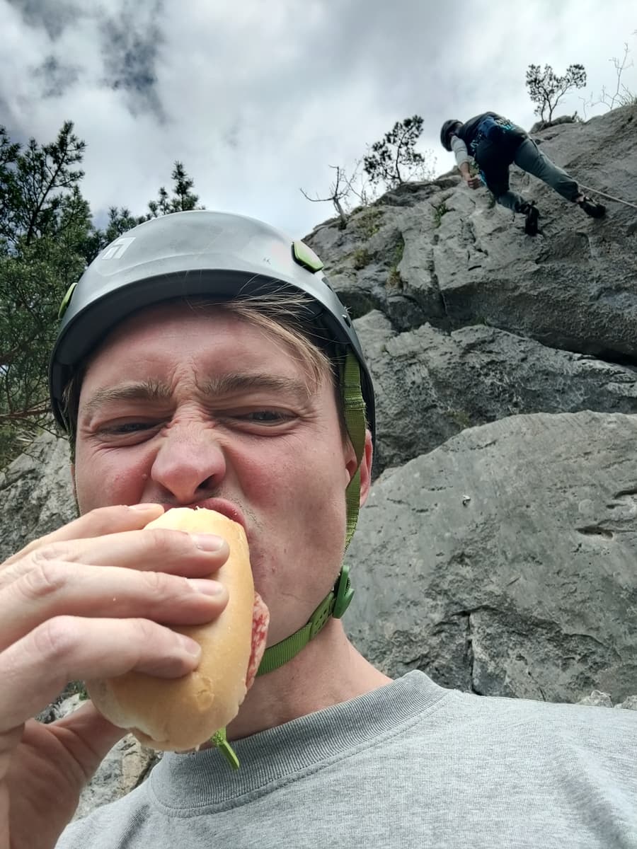
Photographer, UX developer and type 2 fun enjoyer - I've done did myself on treks, rocks and waters for as long as I can remember — I built DirtbagMaps for other sufferers who are always scheming the next adventure. From dirtbag to dirtbag. Also, remember to take pictures for the memories.
If a route, a refuge, or a stage feels off — tell me. This site gets better when you do.
130+ Trails on Six Continents
The Tour du Mont Blanc, Everest Base Camp, Kilimanjaro, the Inca Trail, the GR20, Kungsleden and more. Planned in 3D, stage by stage.
Free to plan, no account in the way
Plan a whole trek without signing up: the full catalogue, the stages, the huts, the gear list. Nothing on the site is behind a paywall today. Open an account so you can save what you planned and pick it up on another device.
Built for hut-to-hut, everywhere
Refuges, teahouses and campsites along the corridor, resupply points, transport links, sensible stage breaks and month-by-month conditions from ten years of real climate data. The logistics that turn a line on a map into a thru-trek you can pull off.
Your route comes with you
Export the route to GPX, Strava or Garmin, and download offline maps for over a hundred of the trails. Once it's on your watch and in your pack, it works with no signal and no login.
Drop me a line
Goes straight to me. No bots, no ticket number.
How I keep this free
No subscription and no paywalled routes — plan and explore every trail for free. If paid extras ever land (offline map packs, power tools), the trails themselves stay free to explore; make an account only if you want to save routes, mark camps, or track your gear.
Free here. Paywalled almost everywhere else.
| Feature | On DirtbagMaps | Other planners |
|---|---|---|
| Cost to unlock everything | Free | Paid plan or unlocks |
| Every trail, every stage | Free | Often locked behind “Pro” |
| 3D terrain maps | Free | Paid map layers |
| Route export (GPX, Strava, Garmin) | Free | Often Pro-only |
| Account to browse & plan | Not required | Usually required |
So where does the money come from?
-
1
You plan a trek
Map your route, find the huts, sort the logistics. Free to plan — no account in the way.
-
2
You book or grab gear through a link
Reserve a mountain hut, sort travel insurance or transport, or grab a piece of kit.
-
3
The partner pays me, not you
They send DirtbagMaps a small commission. You pay the exact same price either way — not a cent more.
Some links on DirtbagMaps are affiliate links — if you book or buy through them, I earn a small commission at no extra cost to you. They never change the routes, the data, or what shows up first.